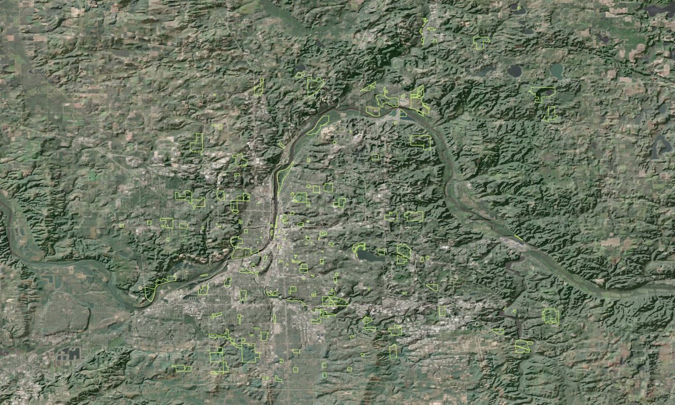
Topography comes-to-life in this rather striking rendition of Grand Rapids, Michigan and environs, designed to support a study of public park canopy coverage and as a public-interest display vehicle for on-going collaborative projects between Friends of Grand Rapids Parks and the City of Grand Rapids.
The basemap was created by generating a hillshade layer from a digital elevation model and combining the resulting shaded relief with an airphoto mosaic from national agricultural inventory. Inspiration and technique provided by John Nelson.

