My first foray into visualizing geospatial landscapes with LIDAR data!
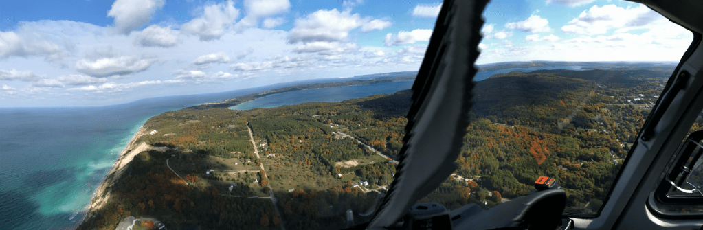
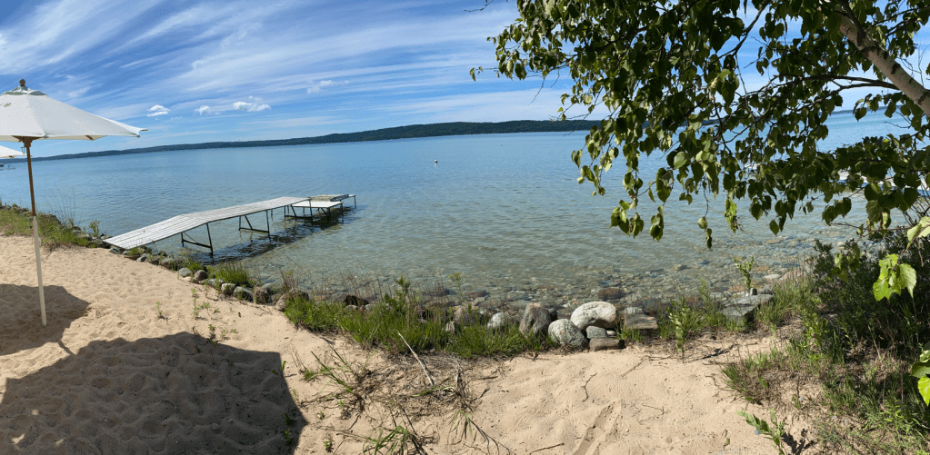
This study area is Benzie County, in northwestern Michigan. I have ground familiarity, one helicopter ride, and much love for the region, having summered from the age of 6 months along the north shore of Crystal Lake between Frankfort and Beulah.
LIDAR data gives us the ability to visualize geospatial landscapes from many overhead perspectives. One way to describe the LIDAR visualization experience is ‘a view from the mountain top.’
This LIDAR visualization, constructed with tools in the Potree Viewer, from the basic LIDAR point cloud project, looks northeastward over Benzie County from a nadir somewhere over Lake Michigan, west of Manistee.

Crystal Lake is the largest water feature, in the western quadrant of the image.
Re-visiting the LIDAR image, below, we see the Platte River Valley’s physiographic features to the north and east of Crystal Lake. The valley contains the Platte river’s ribbons, mid-sized Platte Lake and Little Platte Lake.
The physiography of the Betsie River Valley is visible to the south and east of Crystal, terminating in the much smaller Betsie Lake at the Lake Michigan shoreline, marking the harbor at the City of Frankfort.
A valley containing mid-sized Upper and Lower Herring lakes, lies south of the Betsie River Valley.
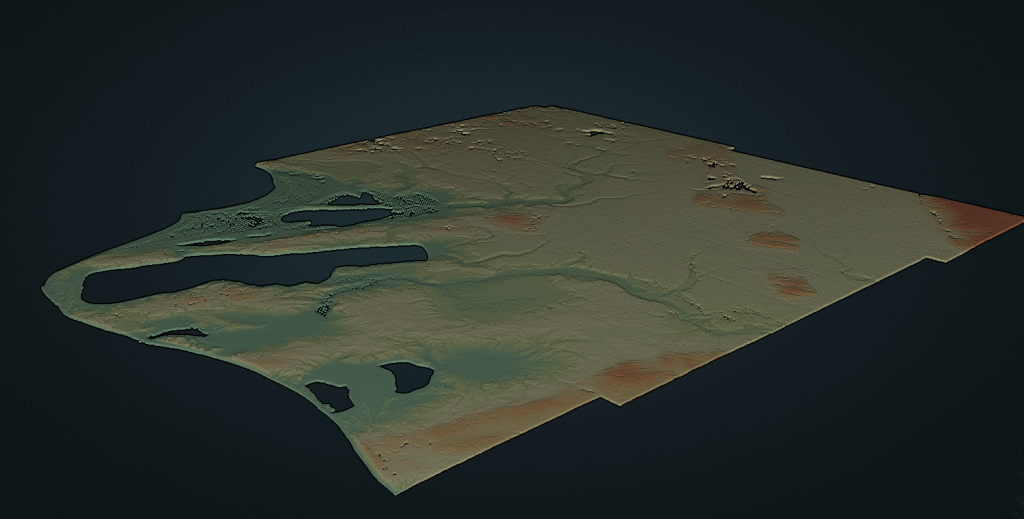
Hypsometric tinting reveals elevational remnants of ancient, larger versions of Lake Michigan, in contrast to mid- and higher level moraine features of the post-glacial landscape.
Aquamarine tinting imagines a time 8000 years ago, when Lake Michigan was 20 feet higher than it is now. Ancient Lake Michigan shorelines arc in parallel rows to the north of Crystal Lake within the widening mouth of the Platte River Valley.
The opening of an ancient “Crystal Bay” is suggested on the western end of Crystal Lake. The Betsie Valley remains open to Lake Michigan even now, via Betsie Lake, as is the valley of Upper and Lower Herring Lakes. They would all surely fill completely with water again were the level of the ancient great lake to be re-attained.
Beige hyspometry generally reveals the mid-elevation watershed separations of Crystal Lake, Platte River, Betsie River and the Herring Lakes.

Reddish hypsometry reveals isolated higher elevation features further inland, to the south and east of Crystal Lake. These are high elevation features, marking the Buck Hills (the location of Crystal Mountain Resort,) the North Hills and the Turtle Lake Hill area, which arc north and east in the eastern quadrant of the image, terminating in the Interlochen area between Duck and Green Lakes.
LIDAR visualization… such an interesting newer technique for exploring the physiography of one of my favorite regions! I’m looking forward to exploring much further during the upcoming year, amongst the added perspectives of colleagues on the IMAGIN 2023 spring conference events planning team, to be hosted by Crystal Mountain Resort (in the aforementioned Buck Hills…)
I’m sure the IMAGIN team will suggest many new ways to ‘imagine’ this fantastic region of Michigan!
